
Waratah Way
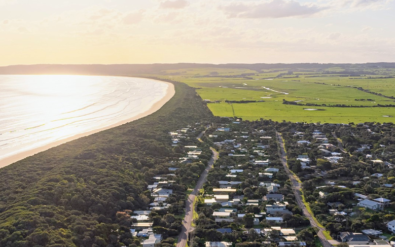
The Sandy Point Community Group (SPCG) has been campaigning for over ten years for a shared trail, Waratah Way, to be constructed along the inland side of the sand dunes, linking Sandy Point with Waratah.
In recent discussions with the Department of Environment, Land, Water and Planning (DELWP), the SPCG has been advised that to progress this initiative, a number of elements need to be determined:
Revise the trail concept to be limited to walkers and cyclists only
Identify a route that is solely on Crown Land
Liaise with DELWP, the Gunaikurnai Land and Water Aboriginal Corporation (GLaWAC) and Aboriginal Victoria to determine potential concerns relating to a cultural heritage assessment and management plan
Liaise with DELWP regarding a feature and boundary survey.
Develop a project plan to guide actions in terms of intent of usage, preferred alignment and design, associated assessments, survey, proposed works (proposed route, extent of works, eg trail, boardwalks, bridges, site line clearance, etc), trail management once completed and the overall funding required.
SPCG continues to engage with both the South Gippsland Shire Council and the Department of Energy, Environment and Climate Action (DEECA). The proposed route for the Waratah Way falls on Crown Land, support and advocacy from Council is an important element in progressing this initiative. The Waratah Way is listed on the Sandy Point Community plan and has been included as a priority project in discussions with Council around a Masterplan.
Please get involved.
The SPCG Committee would be happy to receive your input regarding this project. Use this form to offer your feedback, suggestions, or assistance.