
Sandy Point Road Safe Path
UPDATE: July 2023
At the South Gippsland Shire Council meeting on June 28th, 2023, the proposal outlined below was unanimously accepted to be included on the Paths and Trails Strategy. Council has now set up an online survey, with feedback requested by Friday 28 July.
The current progress of the proposal is stated by Council as:
While we are yet to secure funding for these projects, your feedback will ensure that we understand your preferences and provide support for future funding applications.
The SPCG Committee wishes to have the following points understood by Council as the nature and extent of the proposal is developed.
We support the Sandy Point Road Safe Path initiative, but we are strongly against the creation of a pathway (loop) continuing on Ennisvale Avenue or through the town.
An extension of the proposed path along Ennisvale Avenue:
- is unnecessary, and dilutes the shared roadway premise of Sandy Point.
- would require a large amount of native vegetation removal, which is inconsistent with native animal habitat and WiSP goals.
- would reduce the privacy / quiet enjoyment etc. for owners of properties along this road on the same side as a path.
- may increase traffic speed - anecdotal evidence suggests that this is what happened when the path along Acacia St / Beach Pde was introduced.
- may reduce compliance of drivers with the shared roads philosophy within the township.
The shared roadway system should be reinforced with new signage and other traffic calming measures . We value our shared road environment in Sandy Point in which road usage gives priority to pedestrians, cyclists and wildlife.
Unlike Ennisvale Ave, a significant proportion of the vegetation that will be removed from the Sandy Point Road section is Mirror Bush and other non native species, and these will be replaced by natives.
Please consider responding to the Council survey and outline your views on the above talking points.
BACKGROUND
Sandy Point is a ‘walking town’ where all road users share the roads. This approach is supported by the 40km per hour speed limits and signage. In general, residents and visitors respect the shared roads approach and pathways alongside roads are not necessary.
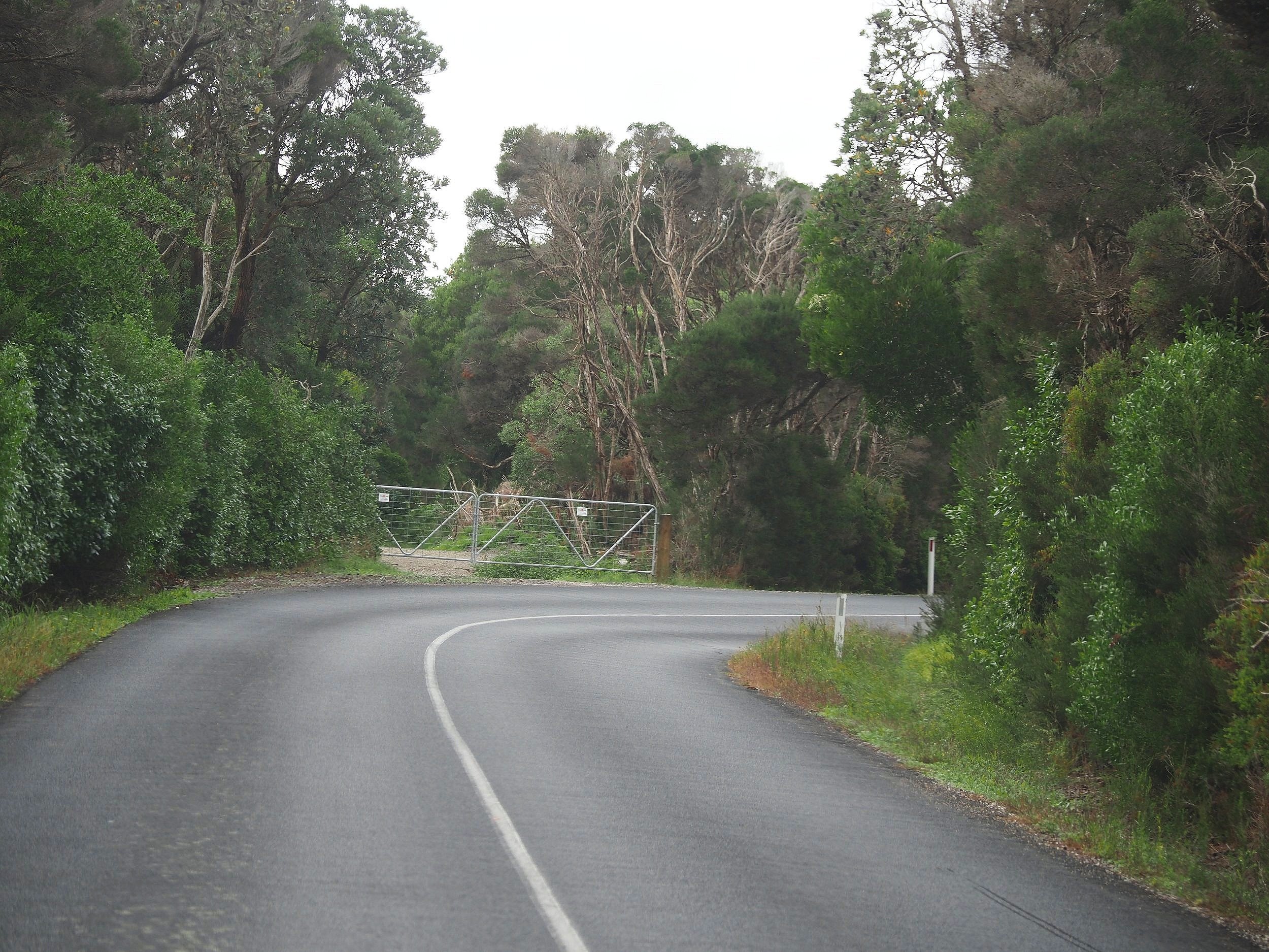
However, Sandy Point Road is a different matter. The speed limit is 80 km per hour (but some travel much faster) and the section between Telopea Drive and Ennisvale Avenue is inherently unsafe because of this and a number of other reasons:
The verge / road shoulder in many places is sloping, narrow and often obstructed by debris from fallen branches. Therefore, it does not provide an accessible and safe refuge from oncoming vehicles.
There are 3 – 4 particularly dangerous places along the road created where it runs up against a property boundary on a bend or into a ‘blind corner’ where oncoming traffic is obscured from view. Riders and those on foot are forced to cross the road at these places to stay off the bitumen as far as they can and to maintain some visibility.
Vehicles (such as trucks and cars towing boats, caravans and trailers) travel at high speeds along this road, often ignoring the speed limits
Many people have reported they would use the road more for fitness and recreational pursuits if it was safer, as the road completes a circuit around the town. We have organised a letter / petition to Council so that the Sandy Point Road Safe Road initiative is included in the SGSC Paths and Trails Strategy.

PETITION CLOSED
The petition for the Sandy Point Road Safe Path has now been sent to Council.
We are thrilled to announce that we received an amazing response from the community. A total of 127 people signed the joint letter, demonstrating their support, and 23 people wrote comments and shared their experiences using this road.